Shire Information
Local History
The Shire of Ngaanyatjarraku is a unique local government in that its community of interest is contained with the traditional lands of the Ngaanyatjarra people of the Central Desert of Western Australia. The 99-year leases held by the Ngaanyatjarra Land Council on behalf of the traditional owners also form the boundaries of the Shire of Ngaanyatjarraku.
The Shire of Ngaanyatjarraku was formed on the 1st July 1993 by the division of the Shire of Wiluna with the eastern area becoming the new Shire. The first local government elections were held in October 1993 and eight Councillors were elected unopposed. The communities, as originally stated in their submission to the Boundaries Commission, are committed to "mainstream" local government and the delivery of services by the Shire rather than any other organisation.
At its formation the Shire assumed responsibility for the limited services previously provided by the old Shire of Wiluna. Since then, the Shire has been steadily improving and extending the range of services provided to the communities, including ovals, street lights, welfare, TV and radio retransmission, swimming pools and culture. Increasingly, the Shire is now undertaking the more conventional Local Government services, including health, building, waste services, litter control, rubbish disposal sites, road sealing, sports and recreation, project management and other community-based programs.
Since the establishment of the Shire, extensive improvements have been made to the communications, road infrastructure, and services provided to the communities within the Shire. The Shire continues to represent and be an advocate for the community at a State and Federal level of government.

Transport Links
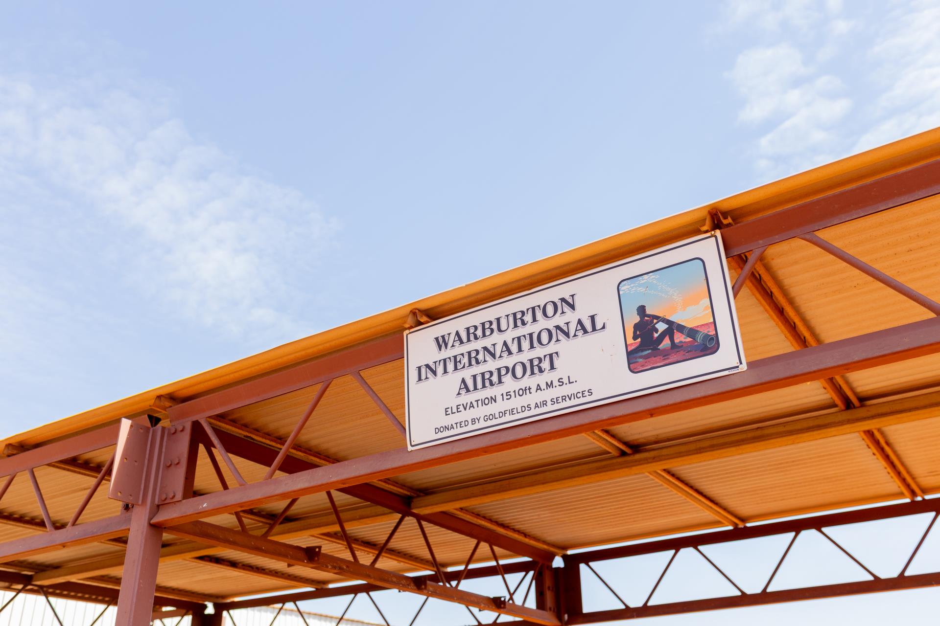
The Shire’s main town site, Warburton, is located on the Gunbarrel Highway and also the Great Central Road. The Great Central Road is also known as the Outback Highway, "Australia’s longest shortcut" which traverses from Laverton in Western Australia, through the Northern Territory and up to Winton in Queensland.
Chart Air fly to Warburton three times per week: Tuesdays from Alice Springs, and Thursdays, Fridays and every second Wednesday from Kalgoorlie. There are no commercial bus services to Warburton and physical access to the Shire can be difficult, particularly during the wet season, which can make the gravel roads impassable.
Permission is required by the Ngaanyatjarra Council in Alice Springs to travel on the lands of Ngaanyatjarraku.
Principal Industries
The main industry within the Shire is the provision of Local Government services to the community, followed by employment in the Social Assistance services industry. Services delivered within the Local Government Administration industry include administrative management, waste management, project management, road infrastructure and maintenance, environmental health, building surveyor issues, youth development and sports and recreational services.
Although there are currently no mining or petroleum operations within the Shire, an agreement to mine a Nickel deposit near the community of Wingellina has been signed. Extensive mining and petroleum exploration is also occurring within the Shire.
Warburton community is home to the Tjulyuru Cultural and Civic Centre which hosts a world-renowned Art Gallery featuring paintings and artefacts from Ngaanyatjarra artists, whose work is represented in national and international exhibitions.
Regional Context
The Goldfields-Esperance region is one of the nine regions of Western Australia. It is located in the south-eastern corner of Western Australia, and comprises the local government areas of Coolgardie, Kambalda, Dundas, Esperance, Kalgoorlie-Boulder, Laverton, Leonora, Menzies, Ngaanyatjarraku and Ravensthorpe.
The Shire of Ngaanyatjarraku is part of the Goldfields Voluntary Regional Organisation of Councils (GVROC) which was formed in 2007, with the overarching principle to create a strategic alliance of Local Governments, who contribute and work together to ensure the development and retention of infrastructure and community services and undertake joint economic development initiatives, through grant funding with the State and Federal governments plus the private sector, to benefit the region.
The mining and processing of mineral resources is the primary industry within the region, complemented by the subsequent commercial services. The region also has a strong agricultural industry, as well as a focus on tourism particularly in the southern parts of the region.
The Goldfields-Esperance region faces a variety of challenges, with those most relevant to the Shire being:
- Retaining a skilled workforce with requisite skills: The labour force of the Goldfields-Esperance Region has remained steady but the unemployment rate in the region has increased from 2001-2002 to a high of 6.0% in March 2016. The mining industry is the largest employer in the Goldfields-Esperance Region;
- Providing infrastructure to a relatively small and geographically diverse population with limited capacity for economies of scale; and
- Population trends: In the 2021 Census, the Shire had an estimated residential population of 1,358 people, comprised of 48.5% male and 51.5% female residents, and there are approximately 599 residential dwellings within the Shire. The Shire has a higher percentage of residents aged between 0-29 years and a lower proportion of residents aged 65+ years compared with the wider Australian population. This must be a consideration for the Shire when considering the types of service provision to the community.
The region is vast, covering a land area of around 940,000km2 and comprising red deserts, expansive mineral wealth, the magnificent Great Western Woodlands, and the iconic white, sandy beaches of the Southern Ocean. The region is renowned for its lifestyle, friendly people, and great sense of community combined with excellent facilities and great opportunities.
As the largest region in Western Australia, covering a third of the State, regional communities and economic activity is relatively isolated from the major urban centres and capital cities of Australia, however this drives an entrepreneurial and pioneering spirit amongst its people, strong and resilient communities, and the freedom to live in one of the most beautiful, natural, safest, and least populated areas of the world. Approximately 55,000 people live in the region.
Location
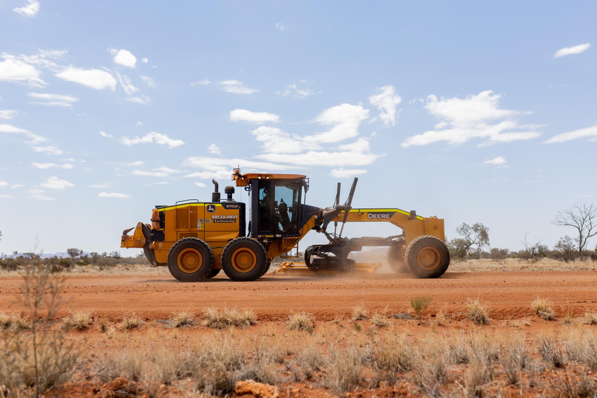
The Shire's isolated location 1,542 km from Perth impacts on the cost of virtually every facet of its operations. The Shire's distance from Perth is not a true indicator of remoteness because of the 560 km of gravel road involved from Laverton to Warburton. The Shire is unique today in being so far from bitumen roads.
The estimated population of 1,838 comprises mainly Ngaanyatjarra people and about 195 non-Aboriginal co-ordinators, technicians and public servants.
Rating
The Shire receives ex gratia rates from the community leasehold areas and these will be supplemented by service charges as services are introduced. The rates on the community leasehold areas are based directly on unimproved values issued on the community's two leases. The only true rates that the Shire receives is in respect of mining tenements.
| Shire of Ngaanyatjarraku Statistics (2006/2007) |
| Established |
1st July 1993 |
| Location |
Gibson / Great Victoria Deserts |
| Distance from Perth (Km) |
1,542 |
| Area (sq km) |
159,948 |
| Western Australia Area (km) |
2,525,500 |
| Length of Sealed Roads (km) |
38.3 |
| Length of Unsealed Roads (km) |
1487.6 |
| Population |
1,838 |
| Number of Electors |
917 |
| Number of Dwellings |
441 |
|
Educational Institutions:
Colleges
Schools
|
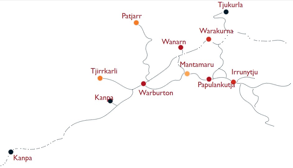
Warburton
Blackstone, Jameson, Tjirrkarli, Tjukurla, Wanarn, Warburton, Warakurna, Wingellina
|
|
Medical Services:
Nursing Posts
Health Clinic
|
Blackstone, Jameson, Patjarr, Tjirrkarli, Tjukurla, Wanarn, Warakurna, Wingellina
Warburton
|
| Nursing homes |
Wingellina |
| Aged Care Facilities |
Wanarn |
| Police Stations |
Warburton and Warakurna |
| Total Rates (Mining Tenements) |
$ 113,533 |
| Total Annual Revenue 2014/15 |
$ 10,608,780 |
| Number of Employees (FTE) |
26 |
|
Temperature & Rainfall-recorded since Jan 2006 - Warburton (Airfield)
Average Rainfall - recorded in 2006
www.bom.gov.au for more information
|
Highest Temperature 16th Feb 07 – 45.5oc
Lowest Temperature 9th Aug 07 – minus 2.4oc
415.2 mm
|
|
Temperature & Rainfall-recorded since Jan 2006 - Warakurna (Giles Station)
Average Rainfall - recorded in 2006
www.bom.gov.au for more information
|
Highest Temperature 9th Feb 07 – 43.2oc
Lowest Temperature 22nd Jun – 0.8oc
257.0 mm
|
| Main Communities Population (2021 Census) |
| Warburton |
431 |
| Tjirrkarli |
4 |
| Wanarn |
117 |
| Warakurna |
158 |
| Tjukurla |
41 |
| Wingellina |
170 (2017) |
| Blackstone |
202 (2017) |
| Jameson |
112 |
| Patjarr |
39 |
| Kanpa |
43 (2017) |